
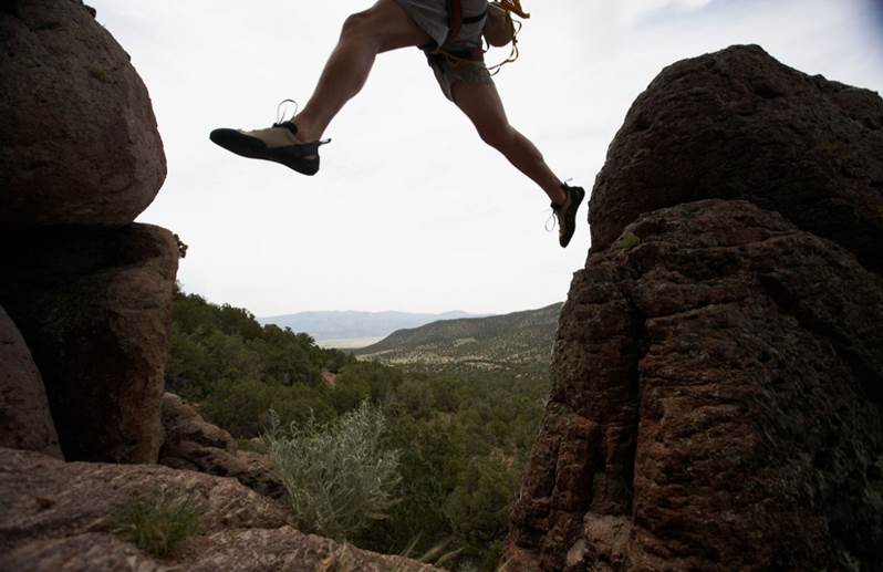
Are there Opportunities for your Residents to Stretch their Legs?
A greenway, open space and trail network connects people to nature, each other, village and town centers, parks, historic sites, and the other resources found in your community. Individual health is promoted by providing opportunities for walking, bicycling and jogging; and green infrastructure promotes community health by increasing the quality of life, contributing to economic development, providing an alternative means of transportation, protecting landscapes, and protecting wildlife habitats. Is your community connected?
Planning a greenway, open space and trail network provides opportunities for your residents and visitors to stretch their legs, but is also vital to protecting natural resources and can contribute to economic revitalization, and encourage tourism. Such planning can be done as a component of a comprehensive plan or as a stand-alone plan.
A greenway is a corridor of open space, and can take the form of a conservation greenway, recreational greenway, riparian buffer, landscape corridor, or greenbelt around a developed area. Ideally, there will be a continuous system of greenways planned throughout the community.
The network plan itself includes an inventory of existing resources, a vision, mapping of the network and destinations, and an action program to realize the vision. The action program is critical to implementing the plan, and typically includes recommendations for zoning and subdivision and land development ordinance amendments to protect open space and facilitate completion of the trail system, official mapping of target open areas, recreational facilities, and trails, and other greenway preservation and trail construction strategies.
SSM can help you network by planning with you for greenways, open space, and trails. SSM’s services include preparing conceptual trail plans and greenway and open space components as part of comprehensive plans; preparing stand-alone plans; rails-to-trails planning; designing walking, bicycling and equestrian trails in master park plans; designing elements of trails, such as pedestrian bridges; preparing official maps; and drafting ordinance amendments.
CASE STUDY
CHALLENGE: A community contains resources including two State Parks, State Game Lands, a recreational reservoir, numerous ponds and lakes, forested watersheds, extensive wetlands, and two ski areas. The Township faces threats to its recreation-resort oriented character and natural resource and recreation-based economy from 3,000 proposed dwelling units and a potential new interchange on a nearby interstate highway.
SOLUTION: In response, the Township is preparing a Comprehensive Plan Update which contains a Greenways and Open Space component.
The Greenways and Open Space Plan
- Plans a continuous open space system throughout the Township protecting State Park and State Game Lands, Natural Areas Inventory sites, water bodies and water courses, wetlands, forested watersheds, and private recreation areas.
- Identifies target open space areas for acquisition, conservation easements, zoning protection, and placement on the Official Map.
- Plans an expanded trail system which connects existing trails; provides for pedestrian access to commercial areas; links residential centers to existing trails, existing and proposed recreation facilities, natural areas and other residential areas; designates trail heads; and connects to recreation facilities and trails in adjoining municipalities.