

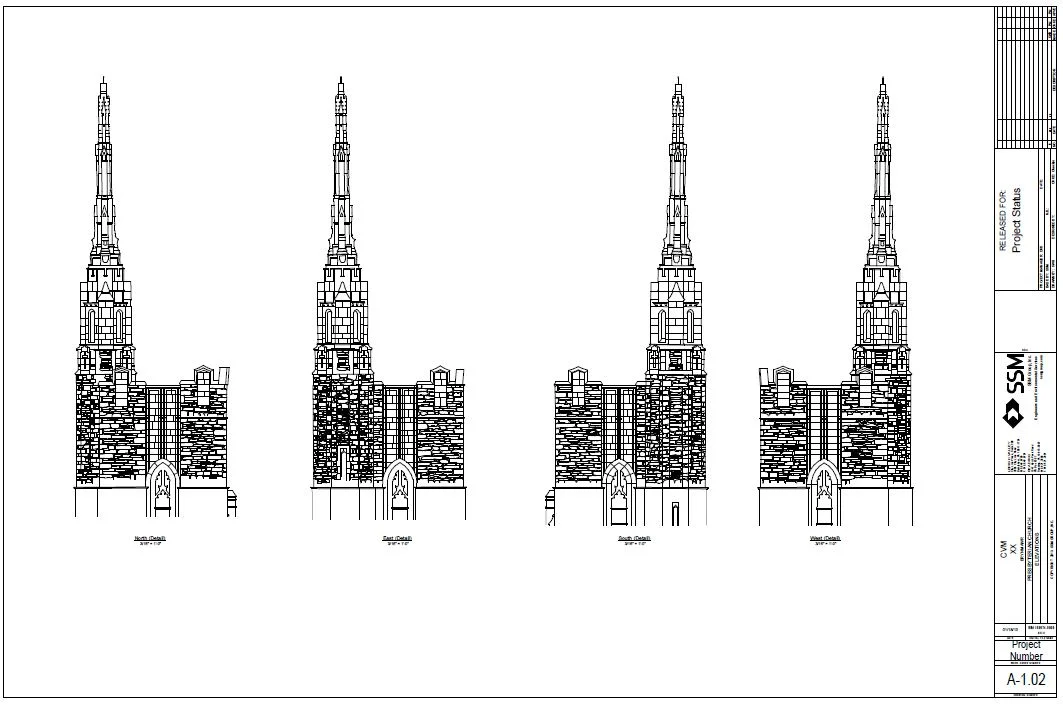
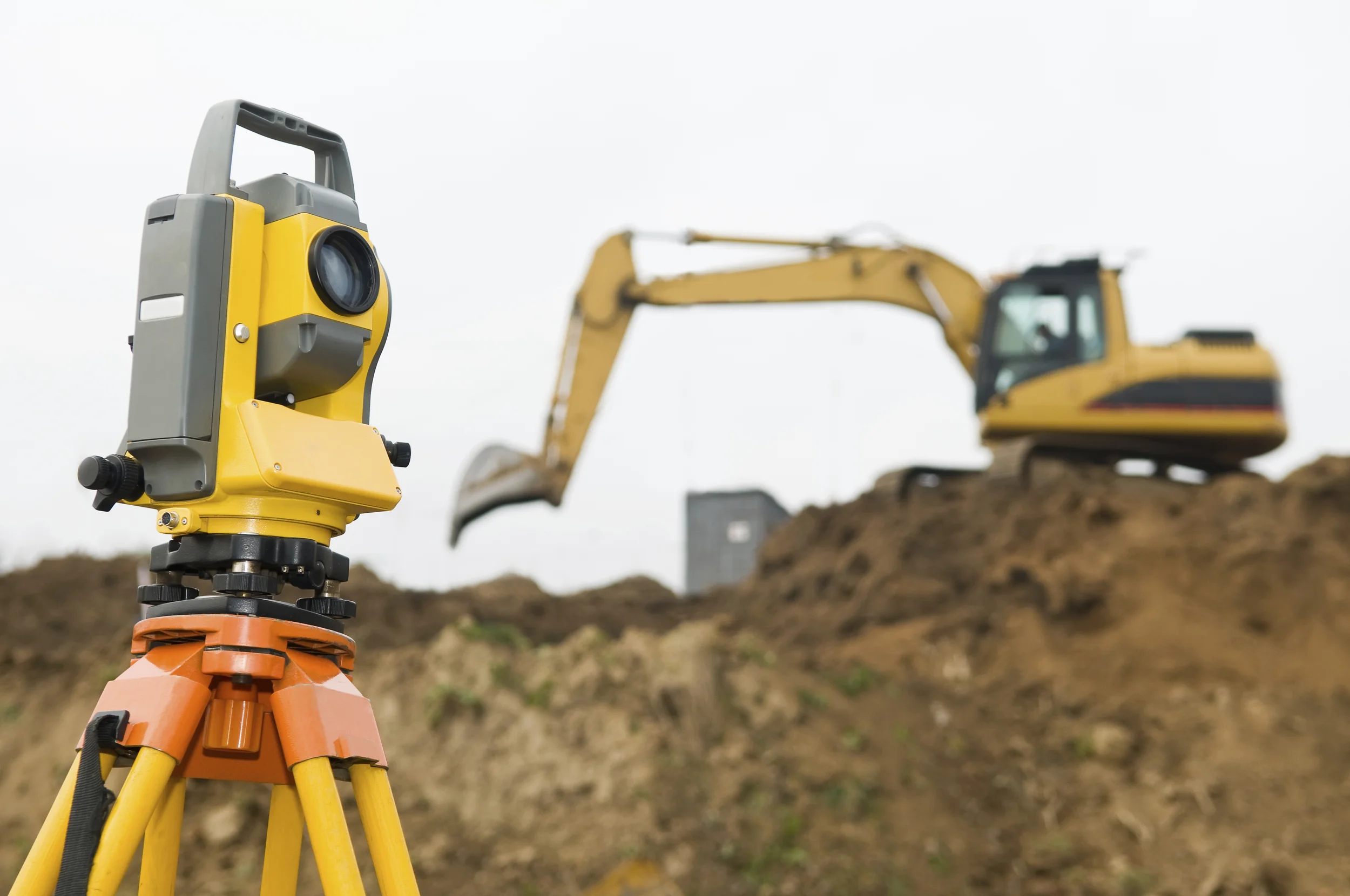
Capturing the Coordinates
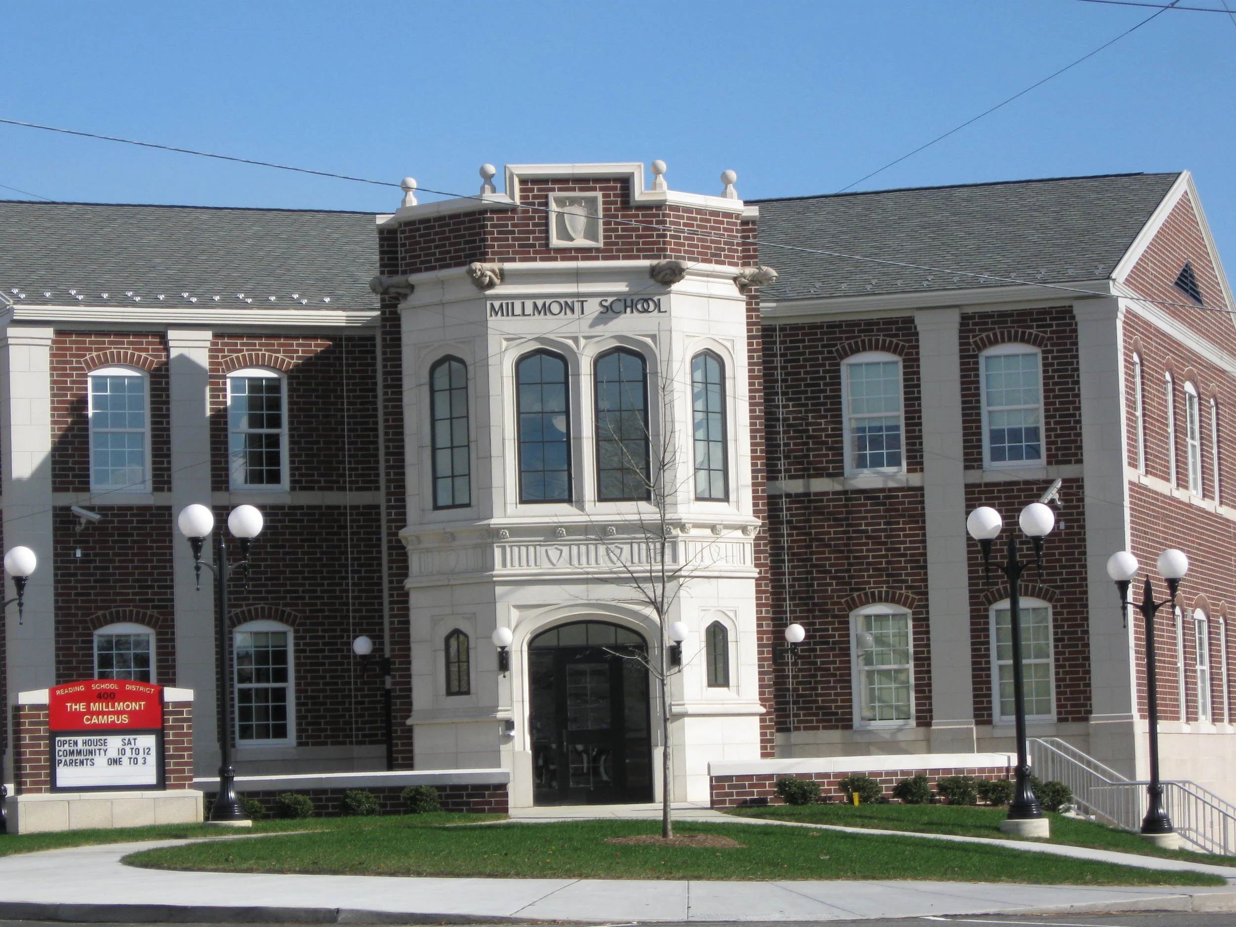
SSM's surveying and mapping services cover a lot of ground, from new construction to building rehabilitation, campus mapping to treatment facilities, utility lines to golf courses. In fact, our archives contain the most complete record of local survey and site plans in the region. Data points from conventional Total Stations, data collection systems, robotics, high-definition scanning, drone services, and other state-of-the-art equipment are transferred electronically to our CAD system for engineering design.
We use Drone Flight Services and High-Definition Laser Scanners to obtain 3-D models and measurements of existing structures and sites. This non-intrusive, cost-effective technology saves time while raising the bar for high-definition precision in large- and small-scale projects such as campus master planning, historic building preservation and industrial development or impact sensitive agricultural and preserved lands.
Expertise
Boundary and Retracement Surveys
ALTA/ACSM Title Surveys
Landfill Surveying
GPS and VRS Surveying
Aerial Mapping Control
Geodetic Control
Municipal Control for GIS Applications
Building and Construction Stakeout
Topographic Surveys
Agricultural Conservation Easement Surveys
As-Built Site and Utility Surveys
Subdivision and Land Development Surveys
Wetland Surveys
Bathymetric Surveys
Projects


Expertise
Boundary and Retracement Surveys
ALTA/ACSM Title Surveys
Landfill Surveying
GPS and VRS Surveying
Aerial Mapping Control
Geodetic Control
Municipal Control for GIS Applications
Building and Construction Stakeout
Topographic Surveys
Agricultural Conservation Easement Surveys
As-Built Site and Utility Surveys
Subdivision and Land Development Surveys
Wetland Surveys
Bathymetric Surveys