

Public-Facing Maps: Using GIS as a Community Outreach Tool
/
PSATS 2017 Annual Conference
presented by: Alfred Guiseppe, PG | Director, Water Resources
Overview
Designed to provide attendees with examples of how municipalities across the nation use intuitive, interactive online maps to convey important public information to their community, this session will cover a range of public works topics including public notifications, traffic control, road maintenance, water and wastewater infrastructure improvements, source water protection, potential sources of contamination, stormwater best management practices, and asset management.
Be it road closures, boil water advisories, or utility repairs, public notifications play a vital role in municipal government. Many municipalities have adopted web-based notifications as a way to broadcast information to its citizens. The increased popularity of interactive online maps, like Google Maps, have paved the way for municipalities to employ public-facing maps as a means to push important information to the public. Interactive maps can also serve as a two-way information exchange.
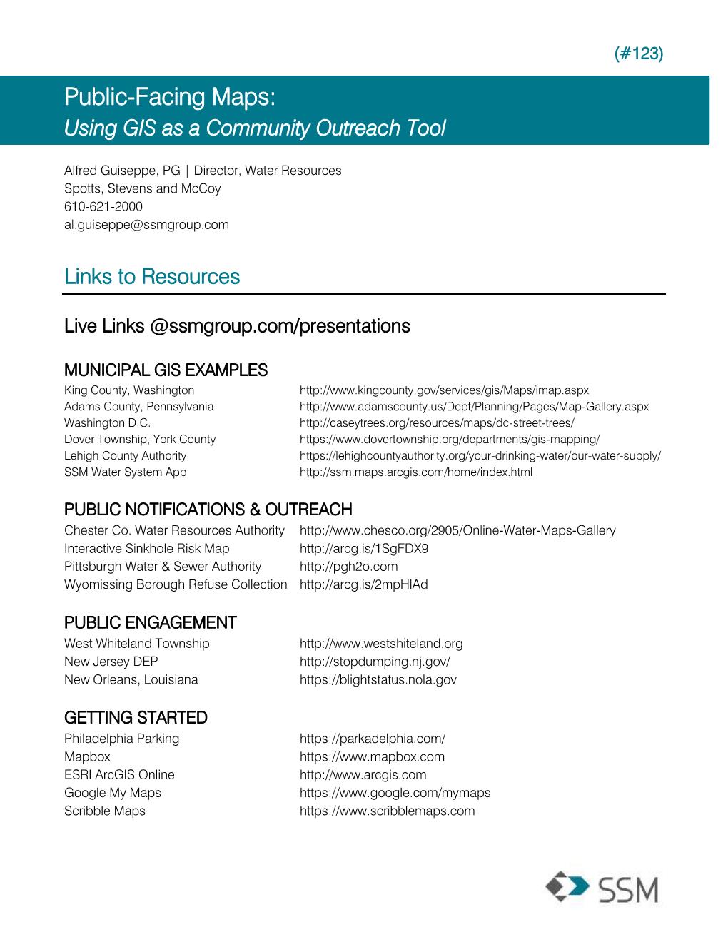
Links to Resources
click on the live links below or Download the Resources Sheet
MUNICIPAL GIS EXAMPLES
PUBLIC NOTIFICATIONS & OUTREACH
Chester Co. Water Resources Authority
Pittsburgh Water & Sewer Authority
Wyomissing Borough Refuse Collection
PUBLIC ENGAGEMENT